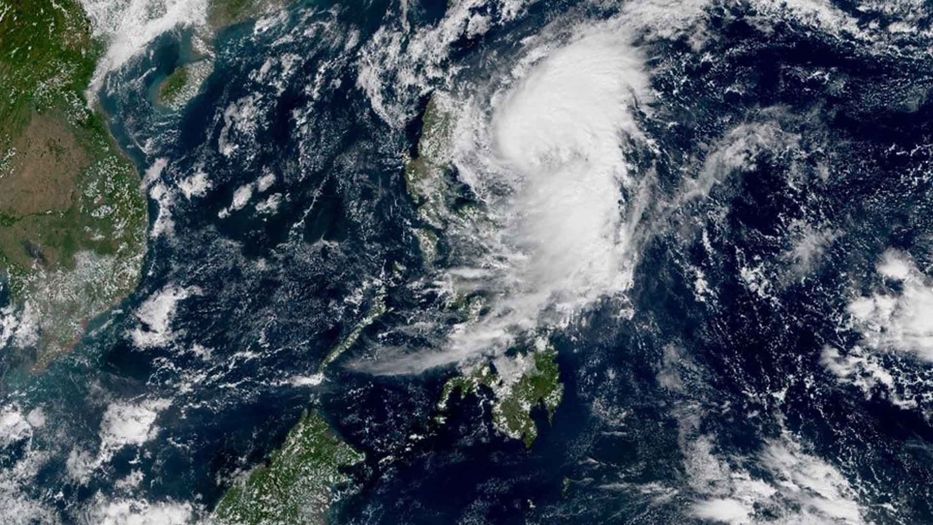
Typhoon “Ursula” has slightly slowed down and is now over the West Philippine Sea.
In its 5 a.m. update, the Philippine Atmospheric, Geophysical and Astronomical Services Administration (PAGASA) said tropical cyclone wind signal is now lifted for the northwestern portions of Aklan and Antique, western portion of Romblon, Marinduque, southwestern portion of Quezon, Laguna, and some portions of extreme northern Palawan including Cuyo Islands.
Occasional to frequent heavy rains is expected over Calamian Islands and Occidental Mindoro including Lubang Island.
Light to moderate with intermittent heavy rains over Oriental Mindoro, rest of extreme northern Palawan, CALABARZON, Metro Manila, and Central Luzon.
Tropical Cyclone Wind Signal number 1 is hoisted over Bataan, Cavite, Batangas, Oriental Mindoro, Occidental Mindoro including Lubang Island, and the rest of extreme northern Palawan (Linapacan, El Nido)
Ursula is forecast to exit the Philippine Area of Responsibility (PAR) on Saturday morning (Dec. 28).
At 4 a.m. Thursday, ‘Ursula’ was last observed at 155 kilometers northwest of Coron, Palawan and moving west northwest at 15 kilometers per hour (kph) with maximum winds of 130 kph near the center and gustiness of up to 160 kph. (PNA)


